

Build Your Drone Program
The Right Way
We provide the expert roadmap to launch a successful new drone program or optimize your existing one for peak performance.
Launching A
NEW DRONE PROGRAM
For organizations starting a new drone program, the path is filled with complex challenges—from choosing the right equipment to navigating FAA regulations. We provide the strategic guidance to avoid costly mistakes at launch and build a program designed for success from day one
OPTIMIZING An
EXISTING DRONE PROGRAM
For those with an existing program, the goal is to ensure it remains efficient, compliant, and effective. We identify opportunities for improvement and growth in your established operations, maximizing the return on your investment.
Your roadmap to a
Mission-Ready UAS PROGRAM
Initial
Consultation

STEP 1
We start with a no-obligation call to discuss your vision and goals, whether you're starting new or looking to improve.
UAS PROGRAM
DESIGN

STEP 2
We deliver a comprehensive, customized plan that outlines every step, from initial concept to full operational capability.
On-Site
Deployment

STEP 3
We work alongside you as a dedicated partner to execute the plan, providing the support you need to launch, scale, and optimize with confidence.

A Strategic Partner
for Every Stage.
We provide end-to-end support, whether you are building from the ground up or scaling your current operations. Our services include:
-
We help you define clear, measurable goals to ensure your drone program solves real-world problems.
-
Get unbiased, expert advice on the right aircraft and software for your mission. (We are not tied to any dealer).
-
We assist in developing a realistic budget and the justification needed to get it approved.
-
We work with you to create the comprehensive documentation needed for safe, legal, and efficient flights.
-
Our experts navigate the complex regulatory landscape for you, ensuring your program is fully compliant from the start.
-
We help you identify the right personnel and create a long-term training plan for proficiency.
-
Receive a clear, actionable timeline to guide your program from concept to its first successful mission.
-
We provide ongoing support to help you adapt and overcome challenges as your program matures.

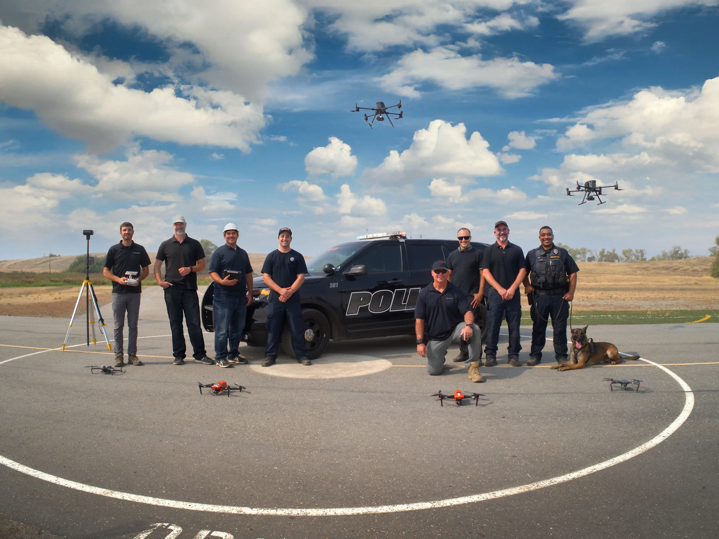
Who We Work With
We've consulted with chiefs, commanders, program managers, and enterprise leaders across public safety, utilities, government, and private industry. No matter where your program is — concept, early deployment, or scaling up — we meet you where you are and help you build something that actually works in the field.

UAS Program Development for
LAW ENFORCEMENT
We help law enforcement agencies navigate the complexities of establishing a safe, compliant, and effective UAS program, from initial concept and grant writing to policy development and community engagement.
Capabilities We Can Help You Build:
-
We guide you through developing the operational concept, selecting the right technology stack (drones, software, comms), crafting the policy framework, and establishing the operational procedures for a successful DFR program.
-
We help you create effective protocols, select appropriate sensors (thermal), and define workflows for seamlessly integrating drone capabilities into your existing SAR operations and mutual aid agreements.
-
We assist in building comprehensive plans for drone deployment during large-scale incidents, including defining roles, establishing data-sharing protocols, and coordinating effectively with regional partners.
-
We help establish robust workflows, select the right hardware/software (photogrammetry/LiDAR), and create data management standards to ensure your agency captures accurate and admissible evidence.
-
We assist in designing secure and efficient procedures for capturing, handling, storing, and presenting drone-collected evidence from crime scenes.
-
We work with you to craft legally sound policies and Standard Operating Procedures (SOPs) for using drones in surveillance and overwatch roles, ensuring compliance and addressing privacy concerns.
-
We help develop effective strategies, operational procedures, and FAA compliance pathways (including waivers) for safely monitoring large public events and gatherings.
-
We assist in developing specific policies, selecting appropriate aircraft/payloads, establishing training standards, and creating integration plans for safely using drones in support of SWAT and other high-risk tactical operations.
Capabilities We Can Help You Build:
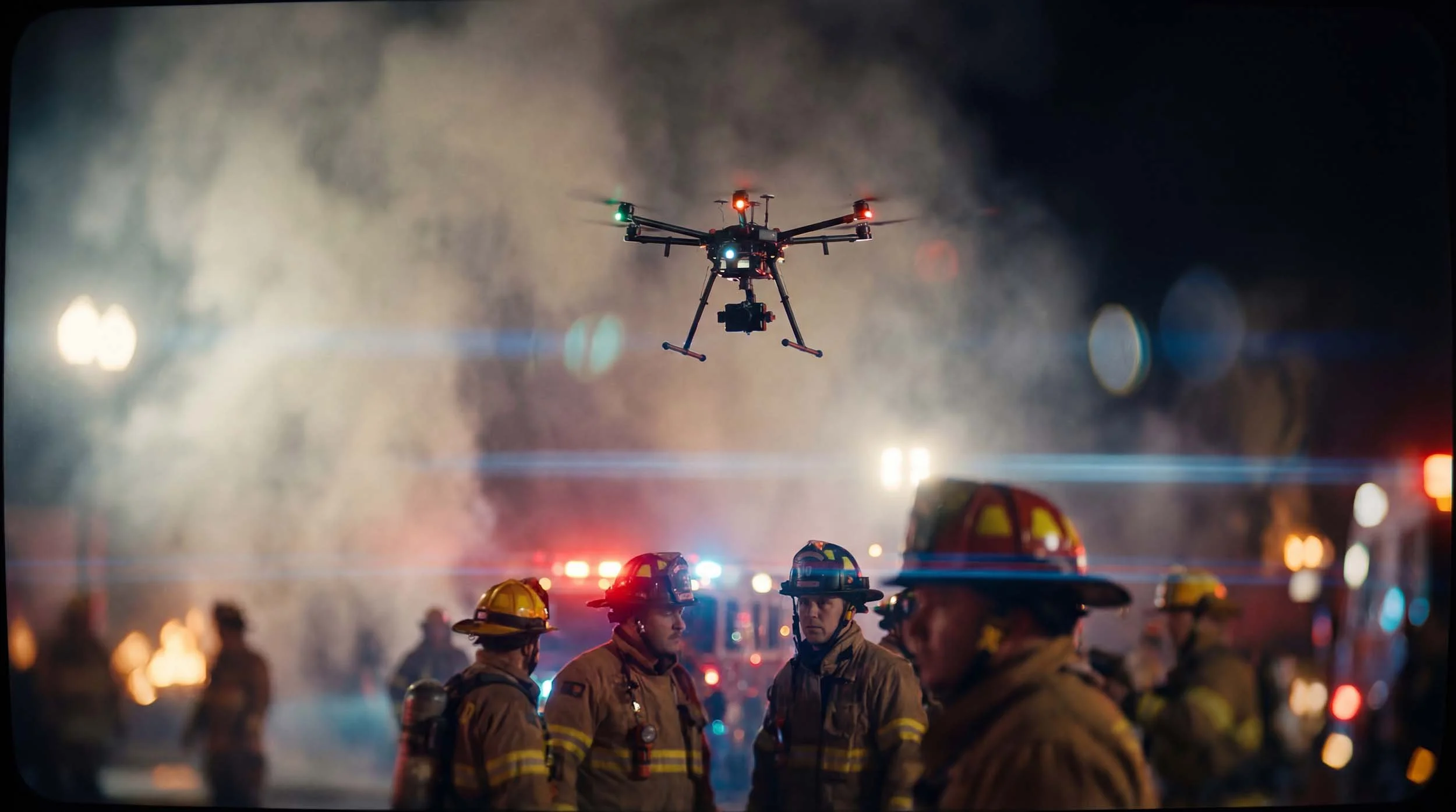
FIREFIGHTING
We guide fire departments through the process of integrating UAS into their operations, focusing on enhancing situational awareness, improving firefighter safety, and developing clear policies for effective use on the fireground and beyond.
UAS Program Development for
-
Develop workflows and communication protocols for effectively feeding real-time aerial intelligence (thermal, visual) into the command structure during structure fires and other incidents.
-
Create effective protocols, select appropriate sensors (thermal), and define workflows for seamlessly integrating drone capabilities into your existing technical rescue and search operations.
-
Establish Standard Operating Procedures (SOPs) for using drones to safely assess hazardous material incidents, including sensor selection guidance, operational safety zones, and data interpretation techniques.
-
Design specialized programs for wildfire monitoring, including aircraft/sensor selection (IR), establishing data-sharing protocols, and coordinating effectively with state/federal agencies.
-
Create efficient procedures for using drone data (imagery, maps) to support post-fire investigations, documentation, and reporting.

Capabilities We Can Help You Build:
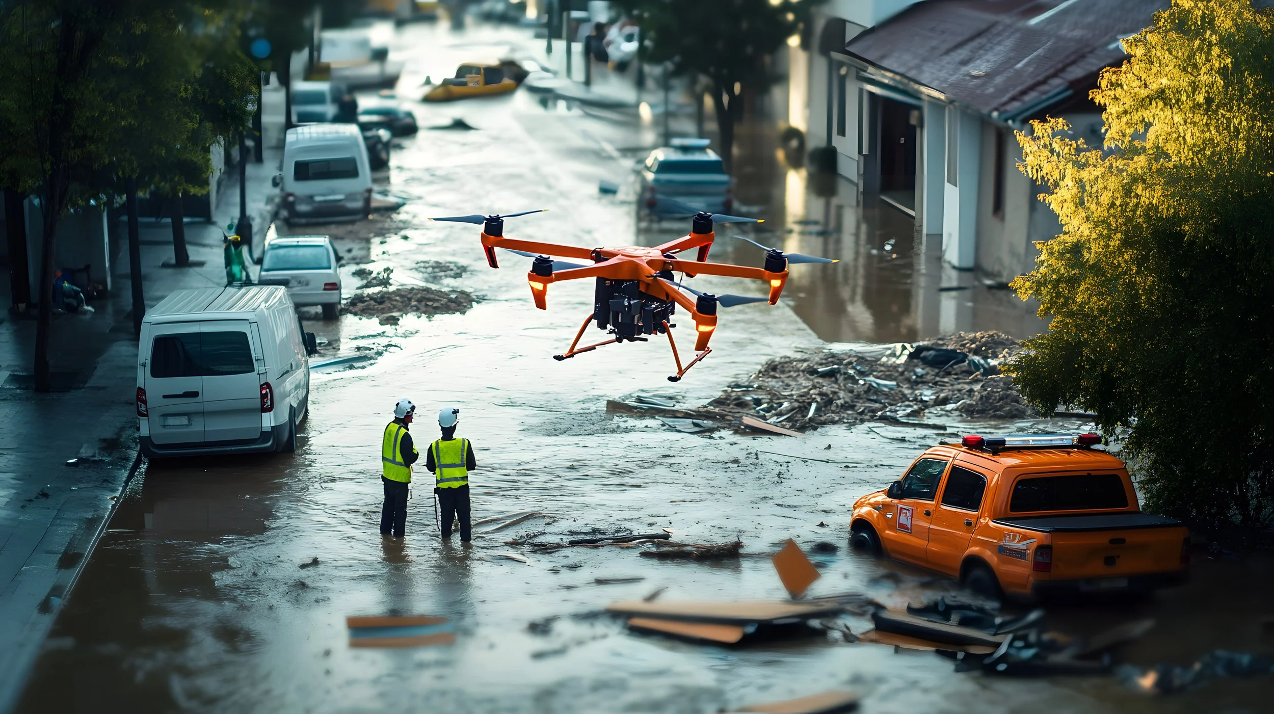
Government & Municipalities
Drones are becoming indispensable tools for government agencies and municipalities, offering more efficient, cost-effective, and safer ways to manage public assets, enhance public safety, and deliver essential services. Our consulting helps you build compliant and effective UAS programs that improve operational awareness, streamline workflows, and better serve your community.
UAS Program Development for
-
Design comprehensive workflows for using drones to inspect public infrastructure (bridges, roads, buildings), create digital twins, and seamlessly integrate aerial data into your existing asset lifecycle management and maintenance systems for proactive decision-making.
-
Establish clear standards, select appropriate technology (photogrammetry/LiDAR), and define best practices for creating high-accuracy survey maps and 3D models to support urban planning, zoning, and public works.
-
Develop robust plans for incorporating drone capabilities into Emergency Operations Centers (EOCs), defining roles, data needs, communication pathways, and coordination protocols for rapid damage assessment and resource management.
-
Craft legally sound policies, operational procedures, risk mitigation strategies, and obtain necessary FAA authorizations (waivers/COAs) for safely monitoring large public gatherings and events.
-
Design effective programs and data management plans for using drones to monitor public lands, waterways, ensure compliance with environmental regulations (like SWPPP), and document changes over time.

Capabilities We Can Help You Build:
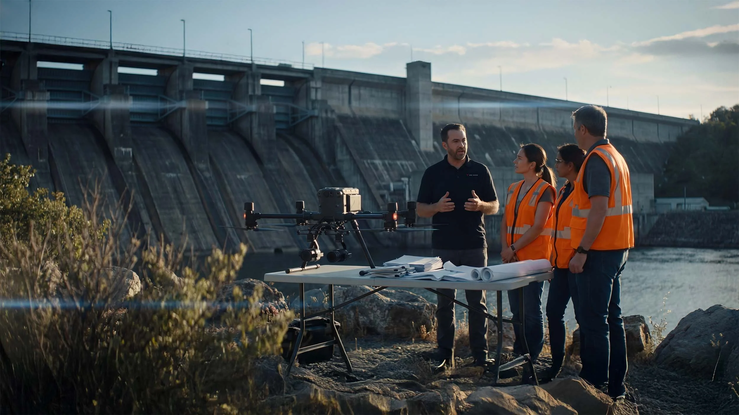
Utilities & Energy
Drones are transforming how utility and energy companies maintain critical infrastructure. Our consulting helps your organization build the strategic framework, policies, and operational workflows needed to inspect assets safely, assess storm damage rapidly, and ensure grid reliability — all while keeping your crews out of harm's way.
UAS Program Development for
-
Develop comprehensive Standard Operating Procedures (SOPs), select appropriate sensor technology (thermal, high-zoom LiDAR), create robust data management workflows, and establish safety protocols specifically for inspecting T&D infrastructure.
-
Design safe and efficient inspection protocols tailored to complex substation environments, including thermal data analysis standards, reporting procedures, compliance documentation, and integration plans with existing maintenance systems.
-
Develop strategic plans for utilizing LiDAR and photogrammetry data to optimize vegetation management along Rights-of-Way (ROW), including workflow design, data analysis standards, contractor management, and fire risk mitigation strategies.
-
Create comprehensive rapid deployment strategies, define critical data collection standards, establish communication protocols with emergency operations centers (EOCs), and develop workflows for efficiently assessing grid damage after severe weather events.
-
Build specialized inspection programs for wind turbines (blade, nacelle, tower) and solar farms (PV thermography), including defect identification standards, data processing workflows, and reporting structures tailored to renewable energy assets.
-
Establish rigorous workflows and data quality standards for capturing high-accuracy survey data (LiDAR/photogrammetry) to create detailed maps and 3D models supporting infrastructure planning, asset management, and engineering projects.
-
Design efficient and compliant programs for monitoring pipeline corridors, including sensor selection (methane detection, visual), data analysis workflows for leak detection, security protocols, and integration with SCADA systems.
-
Provide strategic guidance, comprehensive risk assessment (SORA methodology), and support for developing the necessary Concept of Operations (ConOps), safety case documentation, and waiver applications required for advanced BVLOS operations.

UAS Program Development for
Construction & Engineering
We help construction and engineering firms strategically integrate drone technology across the project lifecycle. Our consulting focuses on building efficient workflows, ensuring data accuracy, establishing safety protocols, and integrating aerial intelligence into your existing project management and design systems to improve decision-making, reduce risk, and cut costs.
Capabilities We Can Help You Build:
-
Establish rigorous standards, select appropriate technology (photogrammetry/LiDAR), and define efficient workflows for capturing survey-grade data for topographic mapping, earthwork calculations, and seamless integration with design software (e.g., Civil 3D, Revit).
-
Design effective systems for regular site flights, automated data processing, and generating quantitative progress reports (including schedule alignment) for stakeholders, integrating data into project management platforms.
-
Develop accurate and repeatable workflows for measuring stockpile volumes and calculating cut/fill quantities, defining data standards for integration into project cost control and inventory management systems.
-
Create comprehensive protocols, select appropriate sensors (thermal, high-resolution visual), and establish data analysis standards for conducting QA/QC inspections (concrete, steel, MEP, envelope) and documenting findings.
-
Develop clear pathways and best practices for integrating drone-captured point clouds and models into your Building Information Modeling (BIM) software for as-built verification, clash detection, and project handovers.
-
Design plans for incorporating drones into safety management systems, including hazard identification workflows, compliance documentation procedures (e.g., SWPPP monitoring), and incident response protocols.
UAS Program Development for
Insurance & Commercial Inspection
Drones are revolutionizing how insurance carriers and commercial property inspectors assess risk and document claims. Our consulting equips adjusters and inspectors with the strategic framework and operational procedures to safely capture detailed aerial data, evaluate damage accurately, and streamline the claims process—improving efficiency, reducing costs, and enhancing data quality.
Capabilities We Can Help You Build:
-
Design consistent, repeatable, and compliant procedures for capturing high-resolution data for residential and commercial property inspections (roofs, facades), ensuring data quality and efficiency across your teams.
-
Establish best practices, data security protocols, and efficient workflows for using drone imagery and measurements to accurately document damage, integrate with claims management systems, and support dispute resolution.
-
Develop comprehensive rapid deployment plans, define critical data collection protocols, establish coordination procedures with field teams, and ensure FAA compliance for large-scale catastrophe (CAT) response operations.
-
Create efficient workflows, data standards, and pilot training requirements for using drones in proactive risk assessment and data collection for commercial property underwriting.
-
Build internal expertise, select appropriate thermal technology, develop standardized analysis methodologies, and establish reporting procedures for conducting building envelope inspections to detect moisture intrusion and insulation issues.

UAS Program Development for
Media & Production
High-quality aerial footage is a critical component of modern corporate marketing, brand storytelling, and news gathering. Our consulting helps organizations build professional in-house drone teams by establishing robust operational procedures, ensuring legal compliance, managing risk, standardizing quality, and integrating aerial capabilities seamlessly into production workflows.
Capabilities We Can Help You Build:
-
Develop standardized shot lists, brand style guides for aerial content, and efficient workflows to ensure your in-house team consistently captures high-quality, on-brand footage for marketing and corporate communications.
-
Establish rigorous pilot proficiency standards, define best practices for advanced camera settings (color profiles, codecs), implement quality control checks, and create internal training programs to ensure consistent, professional results across your team.
-
Implement professional pre-production processes, including storyboarding for aerials, advanced flight path planning (using tools like Google Earth, ForeFlight), risk assessment methodologies (like SORA), and coordination protocols for complex shoots involving multiple crew members.
-
Design the technical workflows, select appropriate bonding/transmission technology (SRT/RTMP), establish safety protocols, and navigate the compliance requirements for integrating live drone video feeds into multi-camera productions and live broadcasts.
-
Build internal expertise and robust processes for navigating the FAA waiver and authorization system (e.g., flight over people, night operations, operations from moving vehicles, controlled airspace access) to enable high-production value shots safely and legally.

WHY Teams CHOOSE US.
100+ AGENCIES
ADVISED
25+ YEARS OF
EXPERIENCE
100% UNBIASED
ADVIcE
With decades of real-world operational experience—and consulting for hundreds of public safety agencies and enterprise teams—our guidance is grounded in what actually works. Unlike resellers or manufacturers, our advice is unbiased. We don’t push specific products or packages—we tailor every recommendation to your mission, environment, and team.
Trusted by Agencies, Departments AND
Enterprises.
We’ve worked with police and fire departments, city governments, utilities, energy providers, infrastructure firms, and agricultural operations. No two clients are the same—so we meet you where you are and build solutions that last.
Drone Consulting FAQS
Answers to common questions about our drone consulting services, process, and how to get started.
-
What is included in your drone consulting services?
Our consulting services help organizations plan, build, improve, or scale a drone program. This includes program strategy, equipment selection, SOP development, compliance guidance, workflow design, training recommendations, and implementation planning.
How does a consulting engagement typically work?
We start with a discovery conversation to understand your goals, current capabilities, and operational needs. From there, we define scope, priorities, and deliverables, then build a plan tailored to your organization.
What makes your consulting different?
Most consulting focuses on recommendations. We focus on implementation. That means building systems, workflows, and programs that actually work in real-world operations—not just theory.
-
Can you help us build a drone program from scratch?
Yes. We can help you build a program from the ground up, including planning, equipment recommendations, policies, operational workflows, training, and rollout.
We already have a drone program. Can you improve it?
Yes. We evaluate existing programs, identify gaps, improve workflows, and make the program more effective in day-to-day operations.
Can you help with SOPs, policies, and compliance?
Yes. We develop and refine SOPs, policies, and operational frameworks so your program is structured, defensible, and aligned with your mission.
-
Do you help with equipment selection?
Yes. We help you choose the right aircraft, payloads, software, and accessories based on your operational needs—not marketing claims.
Can you help us choose software and data workflows?
Yes. We help design workflows for data collection, processing, and delivery so your program produces usable results—not just data.
-
Who is your consulting for?
We work with public safety agencies, government organizations, utilities, infrastructure teams, construction companies, and enterprise organizations.
Can you help us decide if drones are right for us?
Yes. We evaluate your use cases, goals, and resources to determine where drones will create real value—and where they won’t.
-
Do you offer ongoing support or just one-time consulting?
We do both. Some organizations need a focused engagement, while others need ongoing support as their program grows.
Can consulting be combined with training?
Yes. Many organizations combine consulting and training to ensure the program is both designed correctly and implemented effectively.
-
How much does consulting cost?
Costs depend on scope, complexity, timeline, and level of support. We provide custom quotes based on your needs.
How do we get started?
Start by contacting us with a brief overview of your organization and goals. We’ll walk you through next steps and build a plan tailored to your needs.

Read our complete guide: How to Build a Public Safety Drone Program
Let's Build or Improve Your Program.
Whether you're starting from scratch or optimizing an existing program, our consulting services give you the clarity, structure, and support to move forward with confidence. From equipment selection and policy development to training implementation and compliance—we’re here to help you design a drone program that actually works in the field.