Drones in Law Enforcement: Practical Uses, Policy, and Program Readiness
A drone does not solve a law enforcement problem by itself. It gives officers and commanders another way to gather information—often from a safer position and before personnel enter an uncertain scene.
That distinction matters. The most useful law enforcement drone programs are not built around the question, “What can this aircraft do?” They start with a narrower question: “What information do our people need, and can a drone collect it safely, lawfully, and in time to affect the decision?”
That may mean an overhead view of a search area, a thermal scan at night, a visual assessment before a tactical team moves, or a repeatable set of collision photographs. Sometimes the right decision is not to launch.
This guide explains where drones can add practical value in law enforcement operations—and what must exist around the aircraft before an agency can treat it as a dependable operational tool.
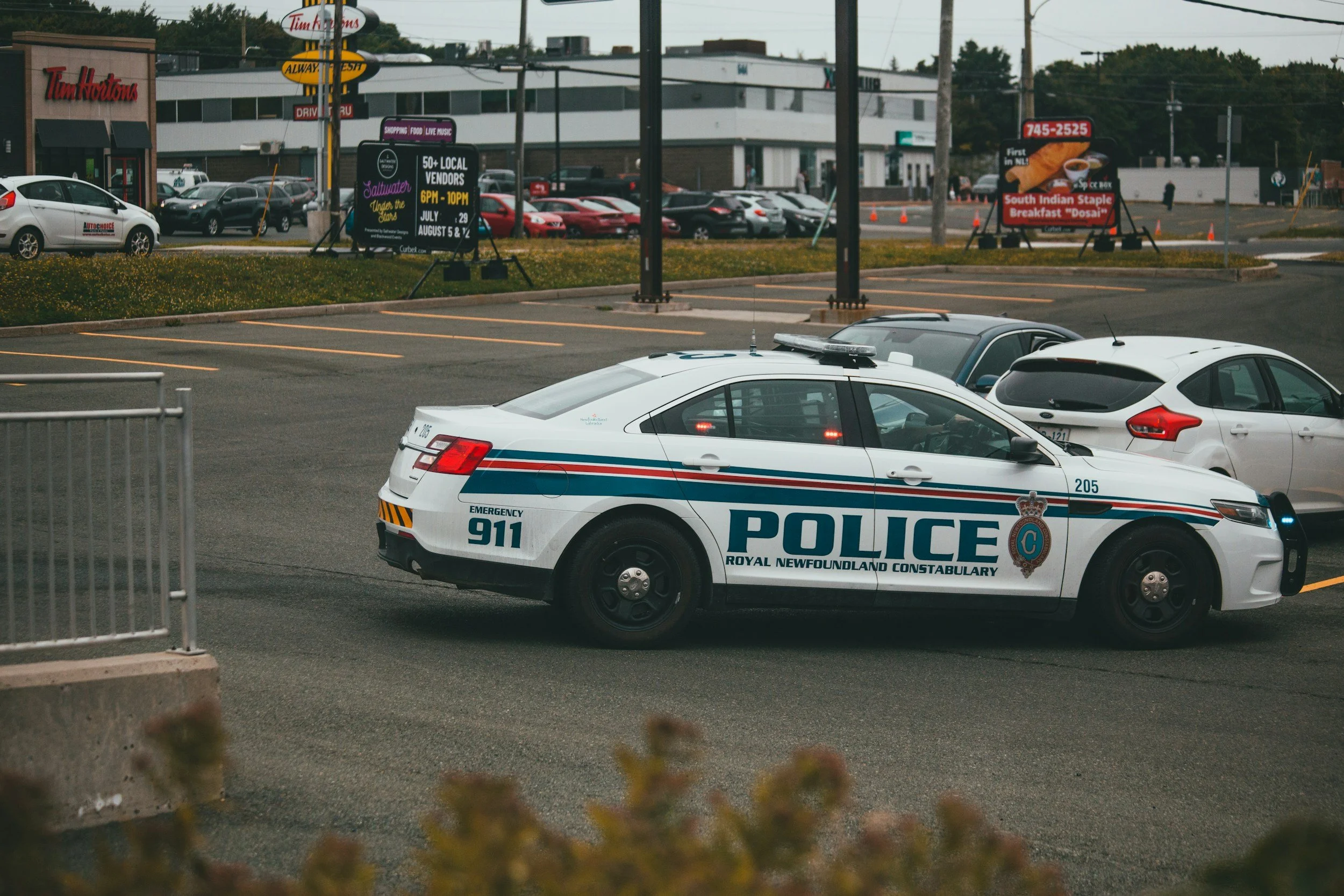
Where drones can support law enforcement operations
The right mission set depends on an agency’s call volume, geography, staffing, airspace, community expectations, and legal environment. Most departments do not need to begin with every possible use. A small number of well-defined missions is a stronger starting point than a broad policy that promises a capability the team has not trained to deliver.
Search and rescue and missing-person operations
Search is one of the clearest uses for a law enforcement UAS. An aircraft can help teams examine open fields, wooded edges, waterways, rooftops, and other areas that are difficult to cover quickly from the ground. A thermal sensor may help an operator notice a heat signature at night, while a visual camera can provide context and help direct ground personnel.
The drone does not replace a search plan or ground team. Vegetation, terrain, weather, sensor resolution, viewing angle, warm surfaces, and animals can affect what the pilot sees. A useful workflow divides the area into sectors, records coverage, uses a clear reporting format, and sends ground personnel to verify possible findings.
Tactical support and overwatch
During barricades, high-risk warrants, perimeter operations, or other tactical incidents, a drone may provide a view that personnel cannot obtain without entering an exposed position. It can help identify routes, openings, hazards, movement, or changes around a scene and then relay those observations to the people responsible for the operation.
The aircraft should support the tactical plan, not create a competing stream of information. Before launch, the pilot needs to know who is requesting the view, what question must be answered, what terminology the team is using, and who is authorized to act on the feed. “There is movement on the north side” is not useful if everyone on the ground is orienting by street addresses or tactical designations.
FAA authorization to fly does not answer when an agency may observe, record, retain, or use information. Surveillance, tracking, and entry-support missions require applicable law, policy, and counsel to be addressed before the call.
Collision, crime-scene, and disaster documentation
Systematic aerial imagery can help an agency document a large scene, preserve its overall layout, and collect overlapping photographs for later mapping or modeling. That can be useful at serious traffic collisions, disaster sites, outdoor crime scenes, and other locations where investigators need context that ground-level photographs may not provide.
The team needs a repeatable capture plan, time and location records, quality checks, secure handling, and documented chain of custody when imagery may become evidence. Suitability for an investigation or court depends on collection, authentication, agency procedure, and evidentiary rules.
Disaster response, perimeter assessment, and mutual aid
After a flood, storm, wildfire, or other large incident, a drone can help document blocked roads, damaged structures, changing hazards, and access routes. The aircraft can also give an emergency operations center a shared view of conditions without sending personnel into every area first.
Large incidents may involve crewed aircraft, other UAS teams, temporary restrictions, damaged communications, and multiple agencies. A mutual-aid drone is useful only when its airspace, data, and reporting relationships are clear.
Drone as First Responder
Drone as First Responder (DFR) moves the launch point closer to calls for service by using pre-positioned aircraft and remote operations. It can provide an earlier view of an incident and help dispatchers or supervisors make better-informed resource decisions.
DFR is an advanced model involving infrastructure, communications, remote command-and-control, staffing, policy, cybersecurity, community engagement, and mission-specific FAA approvals. Agencies should not assume it is the correct first step.
The operating model matters more than the aircraft
Departments sometimes begin by comparing camera specifications and flight time. Those details matter, but they come after mission definition.
Start by writing down the three to five incidents where aerial information would change a decision. For each one, define:
- Who can request and authorize a launch?
- What question is the pilot expected to answer?
- Who serves as remote pilot in command, visual observer, or payload operator?
- How will observations reach dispatch, incident command, investigators, or ground teams?
- What ends the mission?
- What imagery or flight data is retained, where is it stored, and who can access it?
- What conditions make the launch unacceptable?
This exposes requirements a hardware comparison misses: staffing, radio procedures, video distribution, evidence storage, maintenance, training, mutual aid, and approvals.
If your agency is still defining those elements, Red Raven’s public safety drone-program guide walks through policy, budgeting, staffing, training, procurement, and rollout in more depth.
Policy and public trust are operational requirements
For law enforcement, public acceptance is not a communications project added after launch. It is part of whether the program can operate at all.
A public policy should explain authorized and prohibited uses, approval, collection, retention, access, and reporting. Local records, procurement, privacy, evidence, labor, and other requirements may add jurisdiction-specific obligations.
Separate distinct use cases. A missing-person search, collision map, tactical overwatch mission, and remotely launched DFR response create different privacy, staffing, and approval questions.
The U.S. Department of Justice’s UAS policy offers a useful federal model: authorized purpose, training, oversight, tracking, reporting, privacy review, and responsible retention. Local agencies still need jurisdiction-specific review.
Publish the policy, explain common missions, demonstrate the equipment, and provide aggregate information when rules and operational security allow it. Let officials and community stakeholders ask questions before launch.
What a deployable workflow looks like
Every mission will vary, but dependable programs use a repeatable decision cycle.
1. Confirm the mission and authority
Identify the question, approval, legal basis, airspace, and intended use of data. Confirm the request fits policy.
2. Assess risk and airspace
Review weather, obstacles, people, nearby airports, temporary restrictions, other aircraft, communications, launch and recovery, and contingencies. Public-safety agencies generally operate under Part 107 or a public-aircraft Certificate of Waiver or Authorization. The FAA’s guidance is the starting point; some missions require more authorization.
3. Brief the crew and command relationship
Assign roles, radio language, video recipients, and reporting needs. Define lost-link, low-battery, intruding-aircraft, and emergency-landing actions.
4. Fly to the question
Collect information for the approved objective and avoid unnecessary observation. The pilot remains responsible for safe flight despite operational pressure.
5. Close out the mission
Recover the aircraft, record flight and maintenance information, route imagery correctly, and document anomalies.
6. Review what changed
Record whether the drone changed a decision, ruled out an area, identified a hazard, or improved documentation. That matters more than flight count.
Part 107 is the baseline, not the mission qualification
The FAA Remote Pilot Certificate covers aeronautical knowledge. It does not establish that a pilot can perform a nighttime thermal search, communicate during a tactical operation, build a defensible mapping dataset, or manage the workload of a live incident.
Law-enforcement UAS training should progress through four layers:
- Regulatory foundation: Part 107 or the agency’s approved public-aircraft pathway, airspace, weather, operating limitations, and emergency procedures.
- Platform proficiency: aircraft setup, sensor controls, battery management, lost-link behavior, manual recovery, firmware and maintenance procedures, and the limitations of each payload.
- Mission qualification: search patterns, thermal interpretation, scene capture, overwatch communication, night operations, and other tasks the agency has authorized.
- Scenario integration: realistic exercises involving dispatch, incident command, ground teams, changing information, time pressure, and structured debriefs.
The pilot should be evaluated for each mission type rather than receiving one blanket “drone operator” qualification. Recurring training should focus on perishable skills and unusual events, not only comfortable daylight flights.
Red Raven provides on-site UAS training built around an agency’s missions, equipment, terrain, and command structure. Teams that still need policies, staffing plans, procurement guidance, or a phased launch roadmap can begin with vendor-neutral program consulting.
Measure operational value, not activity
Flight totals show that the aircraft was used. They do not show whether the program helped.
Track outcomes connected to the original mission:
- Search areas covered and possible targets handed to ground teams
- Time from request to useful information
- Hazards or access problems identified before personnel entered
- Scenes documented without extending closures unnecessarily
- Calls cleared, downgraded, or resourced differently because of aerial information
- Training completion, qualification status, maintenance issues, and aborted missions
- Complaints, policy exceptions, data-access events, and corrective actions
Use the results to learn which missions justify the program and where workflows need improvement.
A practical readiness check
Before calling a law enforcement drone program operational, leadership should be able to answer yes to these questions:
- Are the initial mission types narrowly defined and approved?
- Does each mission have a clear authorization and command workflow?
- Has agency counsel reviewed policy, privacy, evidence, records, and jurisdiction-specific requirements?
- Is the FAA operating pathway documented for the missions the agency intends to fly?
- Are pilots qualified on both the aircraft and their assigned mission types?
- Have dispatchers, supervisors, investigators, tactical teams, and public-information staff trained on how the UAS element fits their work?
- Are flight, maintenance, deployment, training, and data-access records maintained?
- Can the agency explain the program’s use and safeguards to the public in plain language?
- Is there a recurring exercise and evaluation schedule?
- Does leadership know what conditions require the team to decline or stop a flight?
An aircraft can be purchased in a week. A program that people can rely on takes deliberate work.
Law enforcement drone FAQ
Do law enforcement drone pilots need Part 107 certificates?
Public-safety agencies generally use Part 107 or qualifying public-aircraft operations under a COA. Requirements differ, so agencies should document their path using current FAA guidance. Many departments use Part 107 as a foundation for pilot knowledge and routine operations.
Can a drone be used as evidence collection equipment?
Aerial imagery can support an investigation, but it is not automatically suitable for evidence. Agencies need validated collection, quality control, metadata, secure storage, access controls, and chain of custody.
Should a department start with DFR?
First ask whether policy, personnel, manual workflows, public support, and mission volume justify the infrastructure. DFR may be a later phase; it is not required for a useful program.
What is the best drone for law enforcement?
There is no universal answer. Search, documentation, and tactical missions emphasize different sensors and performance. Procurement, cybersecurity, support, weather, airspace, and training also matter. Define the mission first.
Build the program around the decision
The real value of a law enforcement drone is not the view from above. It is the better decision that view makes possible—and the safer, accountable process used to reach it.
Start with a limited mission set. Put the policy, authority, training, data handling, and command workflow in place. Exercise the difficult parts before a live call exposes them. Then measure whether the aircraft is producing useful information, not simply whether it is flying.
If your department is building a new capability or trying to turn an informal drone team into a dependable program, Red Raven UAS can help with program design and consulting, mission-specific on-site training, and Part 107 preparation. When you are ready to discuss your mission profile, send us a message.
About Red Raven UAS
Red Raven UAS was founded by public safety and drone industry veterans to solve a real problem: agencies and enterprise teams buying drones with no clear plan, no trained pilots, and no compliant program to back them up. We provide vendor-neutral consulting to design and build your drone program, customized on-site training for your team and mission, and FAA Part 107 certification to keep your pilots legal and ready. No hardware sales. No generic courses. Just field-tested expertise built for the real world.
Explore More