

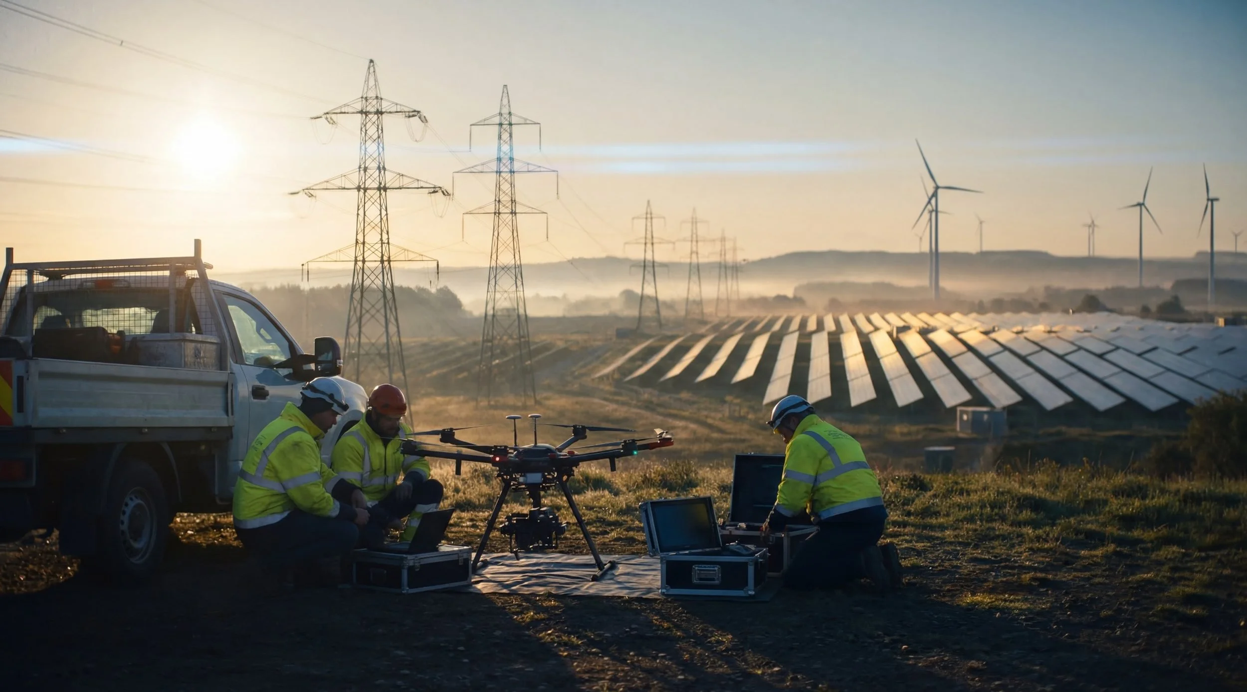
Drones for Energy & Utilities: The Complete Guide to Building a UAS Inspection Program
There's a reason the largest utilities in the country — PG&E, Florida Power & Light, American Electric Power, ComEd — have invested heavily in drone programs over the last five years.
It's not because drones are new technology. It's because the math finally became undeniable.
A transmission line inspection that used to require helicopter deployment, specialized climbing crews, and days of downtime can now be completed by a two-person drone team in a fraction of the time — without taking the line out of service, without putting anyone at elevation, and with better data than the traditional method produced.
That's not a marginal improvement. That's a category shift in how utilities manage their infrastructure.
But here's what the case studies and vendor marketing don't tell you: the technology is the easy part. The hard part is building a program around it — one with the right people, the right training, the right data workflows, and the operational structure to turn aerial data into actionable maintenance decisions.
This guide is about that harder part.
For a broader overview of how drones are being used across the sector, see our guide to drones in utilities and infrastructure.
Why Utilities Are Adopting Drone Programs Now
The business case for utility drone programs has existed for years. What's changed is the convergence of several factors that have made adoption not just attractive, but operationally necessary.
Aging infrastructure and inspection frequency demands: The American Society of Civil Engineers' 2025 Infrastructure Report Card gave U.S. energy infrastructure a C-. Utilities are under increasing regulatory pressure to inspect more frequently and document conditions more thoroughly. Traditional inspection methods — helicopter surveys, climbing crews, bucket trucks — can't scale to meet that demand without significantly increasing cost and workforce risk.
Worker safety: Transmission line work, substation maintenance, and pipeline inspection are among the most dangerous jobs in the utility sector. Drones remove human workers from proximity to energized equipment, elevated structures, and remote terrain. The safety case alone justifies the investment for most operators.
The insurance and liability equation: Documentation of asset condition has become a critical factor in both regulatory compliance and insurance underwriting. Drone inspection programs produce consistent, geotagged, timestamped visual records that ground-based inspection methods simply can't match.
Regulatory momentum: The FAA's August 2025 BVLOS NPRM (Part 108) is creating a standardized pathway for beyond-visual-line-of-sight operations — the regulatory unlock that will make long-corridor pipeline and transmission line inspection dramatically more scalable. Programs building their internal capabilities now will be positioned to scale when Part 108 is finalized.
Cost structure: For high-frequency inspection needs, in-house programs deliver significant cost advantages over contracted services over time. The upfront investment in equipment, training, and program development pays back quickly at scale.
Prefer audio? Listen to the full podcast breakdown below or open the episode page.
The Five Primary Use Cases for Utility Drone Programs
Not all utility inspection work is the same. The right program structure, equipment, and training depend heavily on which inspection types you're building for. Here are the five core use cases:
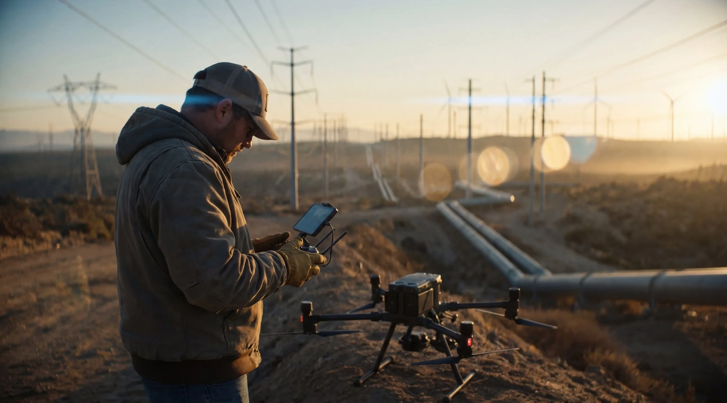
Transmission and Distribution Line Inspection
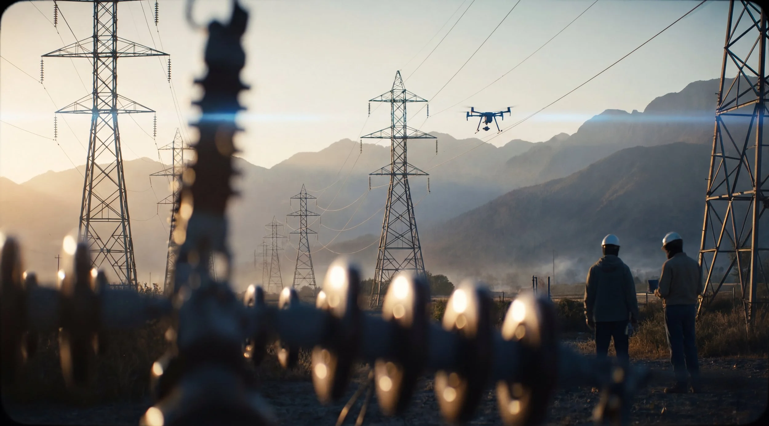
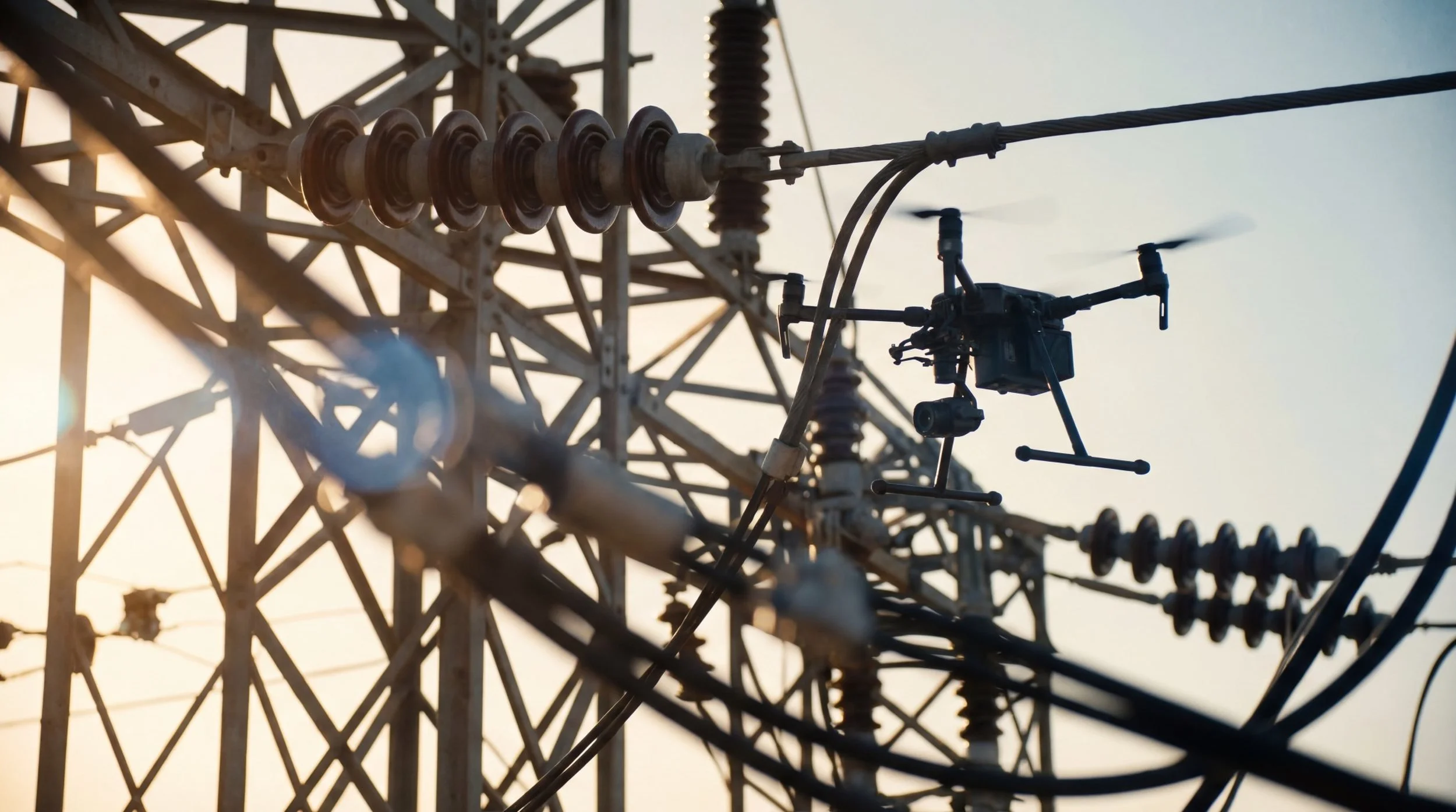
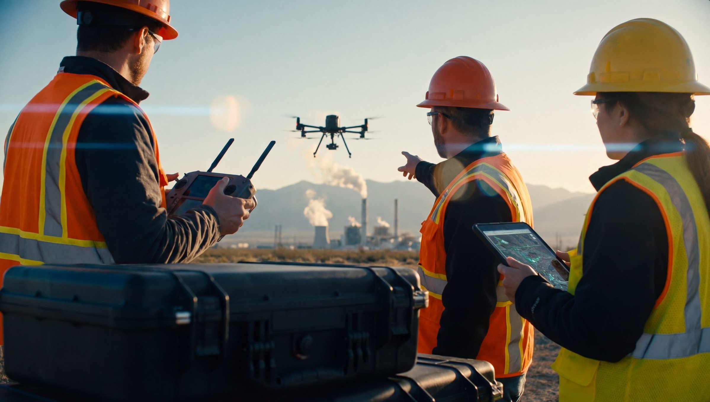
This is the highest-volume use case for most utility drone programs. Drones equipped with high-resolution RGB cameras and thermal sensors fly structured corridor routes along transmission and distribution lines, capturing imagery of conductors, insulators, towers, and hardware.
The data value: identifying failing components, loose connections, vegetation encroachment, structural damage, and thermal anomalies — all without a climbing crew or helicopter.
Georgia Power has demonstrated what this looks like at scale — inspecting 14 miles of lines daily, covering over 1,400 line miles in 1,000 flight hours over eight months. That pace is not achievable with traditional methods.
Key considerations: electromagnetic interference (EMI) from energized lines affects GPS-dependent drones. Platform selection matters here — aircraft that use optical and visual navigation rather than GPS-dependent positioning are significantly more reliable in high-EMI environments.
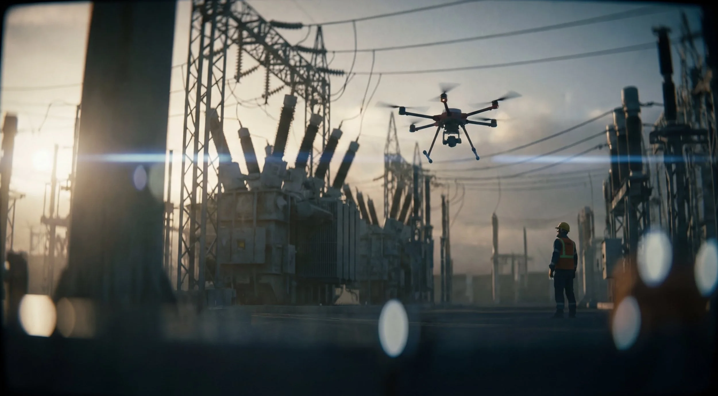
Substation Inspection
Substations concentrate high-value, high-consequence equipment in a defined area — transformers, breakers, switches, bus work. Traditional inspection requires personnel to enter energized yards, creating significant safety exposure.
Drones allow operators to capture thermal and visual inspection data from outside the energized perimeter, or from safe standoff distances within the yard, eliminating the most hazardous aspects of substation walk-throughs.
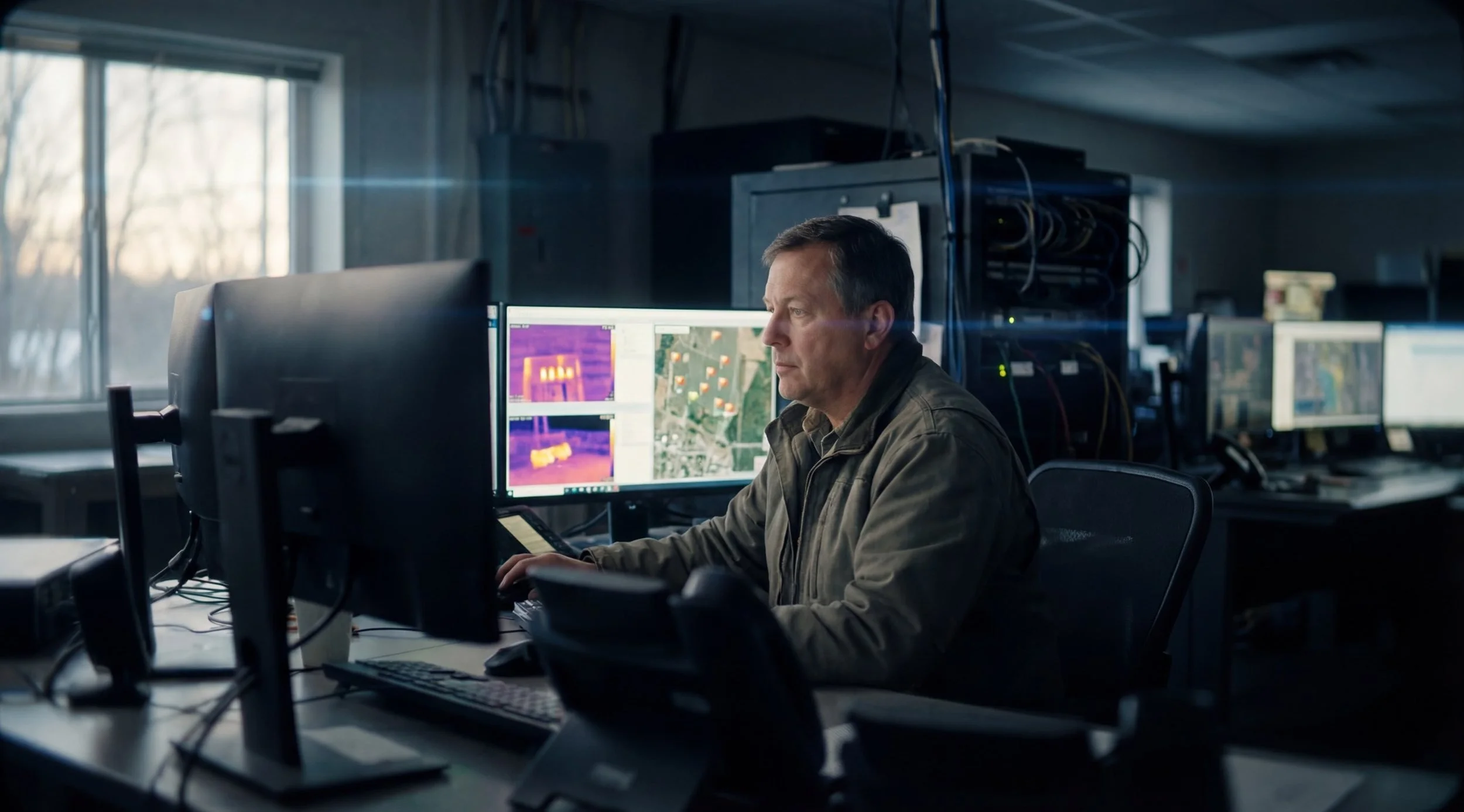
Thermal cameras are essential here — most substation anomalies (failing connections, overloaded equipment, cooling deficiencies) manifest as temperature differentials before they manifest as visible damage or failures.
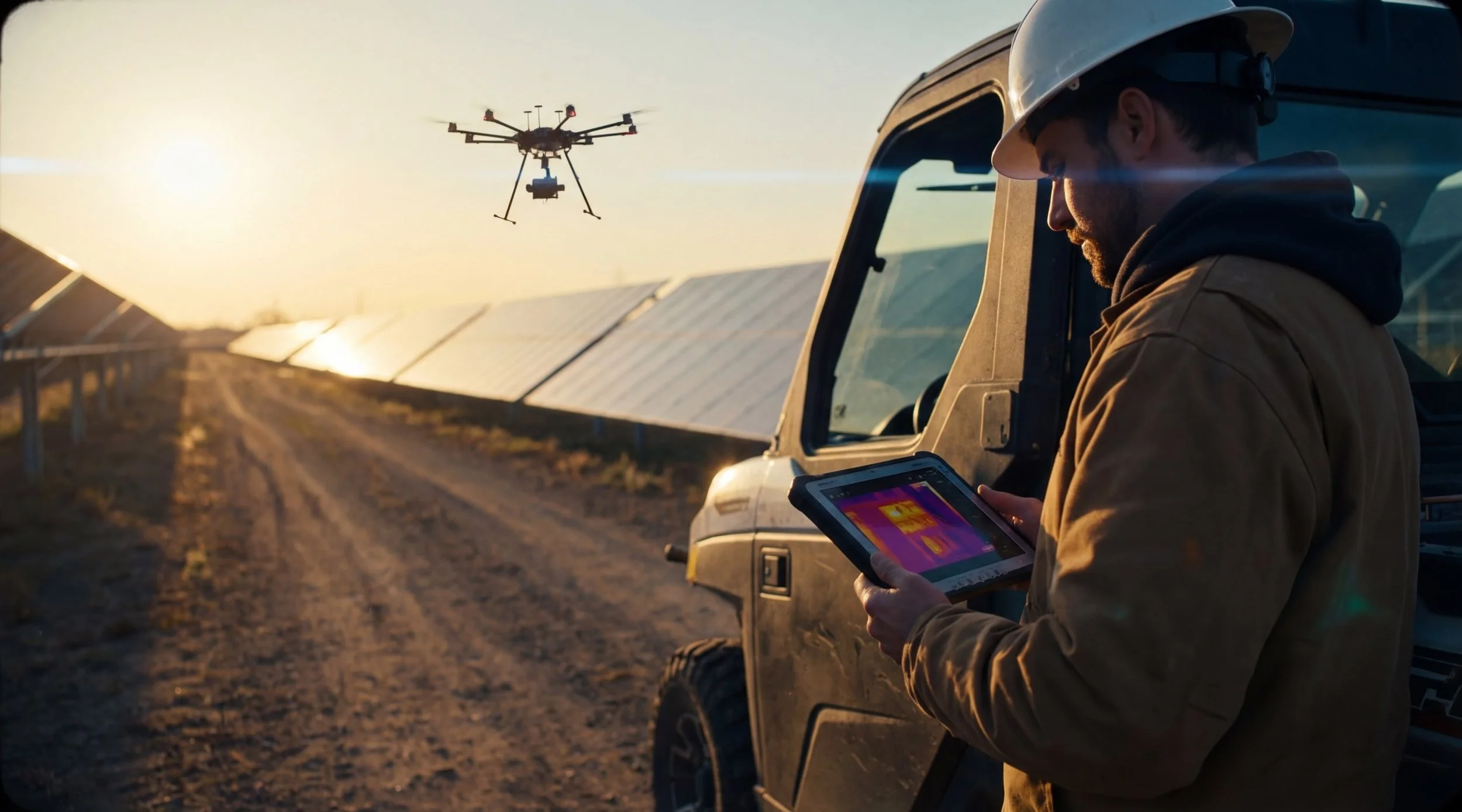
Solar Farm Inspection

Utility-scale solar installations present a unique inspection challenge: thousands of panels spread across large acreage, where defects are invisible to ground-level visual inspection but readily detectable by thermal imaging from the air.
Drone-based solar inspection identifies hotspots, bypassed cells, junction box failures, soiling patterns, and physical damage across an entire installation in hours rather than days. Many operators run annual thermal surveys as a baseline and targeted surveys following weather events.
The mapping nature of solar inspection — systematic grid coverage rather than corridor following — plays to the strengths of autonomous flight planning software, making this one of the most automatable inspection workflows in the sector.
Wind Turbine Inspection

Wind turbine blade inspection is one of the highest-risk, highest-cost inspection challenges in energy — traditional methods require personnel at height on spinning equipment, with all the planning, weather dependency, and safety complexity that entails.
Drones eliminate most of that exposure. Systematic close-inspection flights around each blade capture surface condition data — leading edge erosion, delamination, cracks, lightning strike damage — without a climber.
The operational challenge: wind turbine environments require precise, close-proximity flight in variable conditions. This is not a use case for entry-level equipment or undertrained operators. Platform stability, obstacle awareness, and pilot proficiency are all critical.
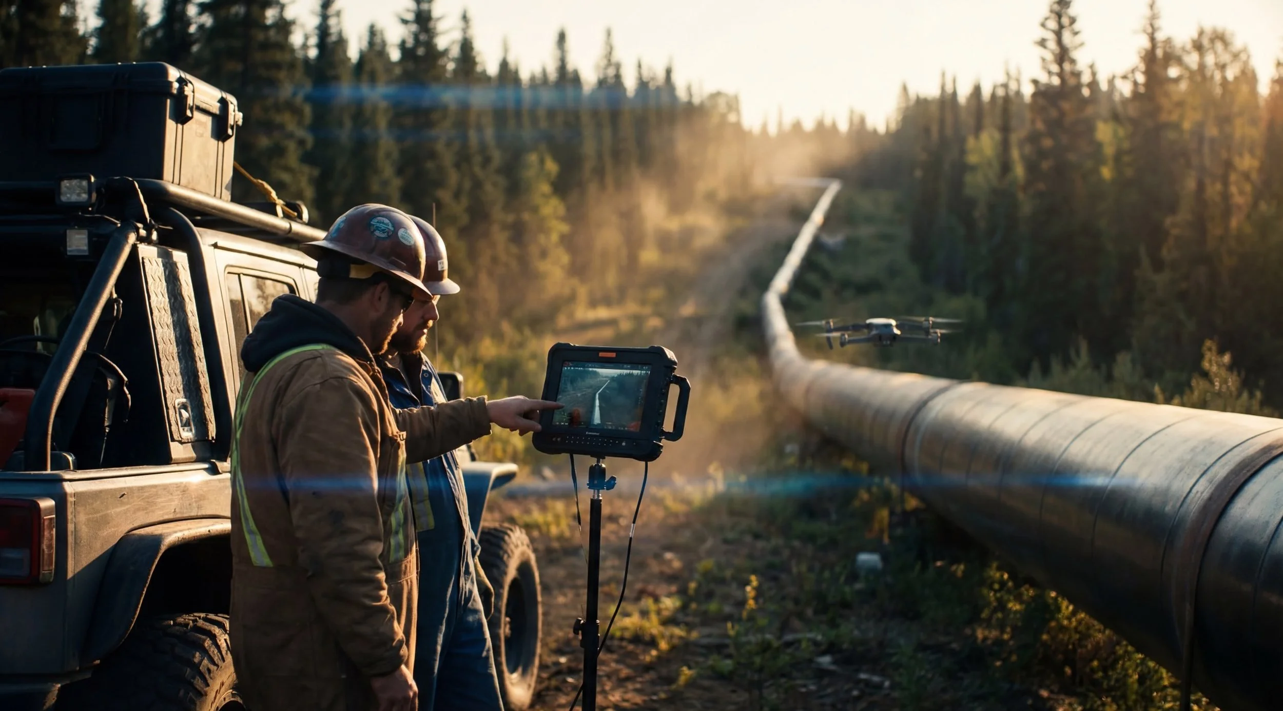
Pipeline and Corridor Inspection
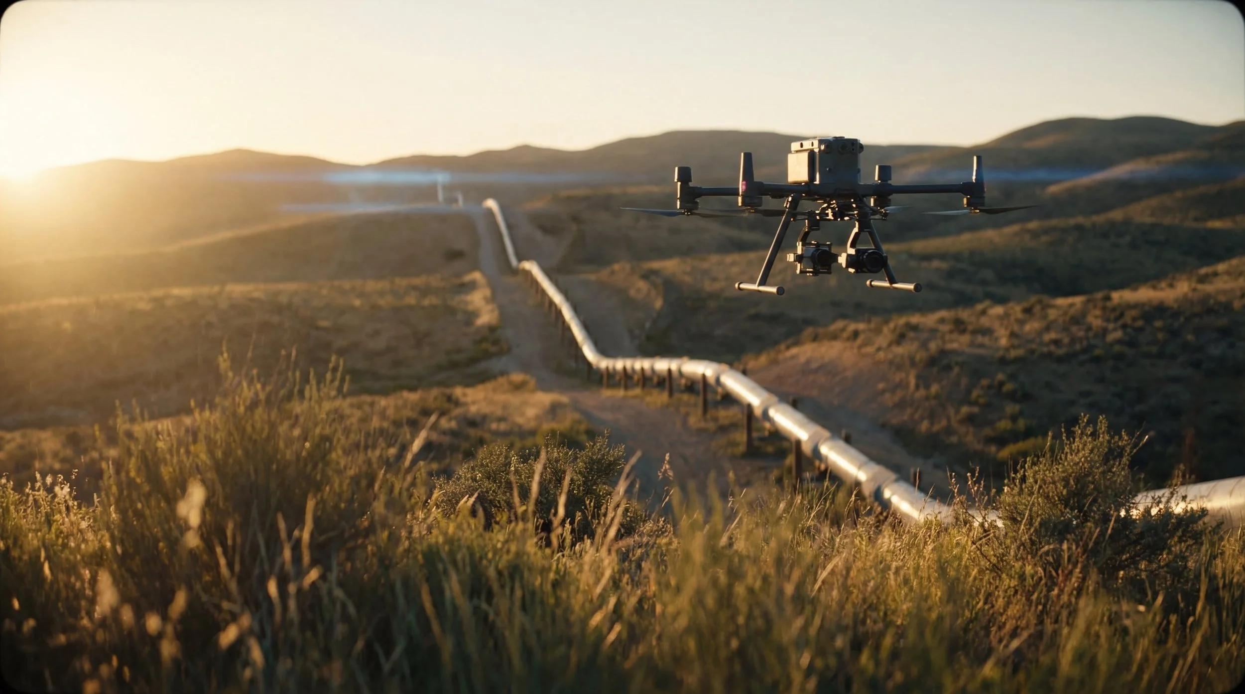
Pipeline inspection by drone covers hundreds of miles of linear infrastructure — checking for right-of-way encroachment, surface subsidence, third-party activity, vegetation overgrowth, and physical damage to above-ground components.
This is the use case where BVLOS capability (and the regulatory pathway that Part 108 will provide) has the most transformative potential. Visual-line-of-sight operations limit how efficiently long corridors can be covered. BVLOS removes that constraint.
Until Part 108 is finalized, most pipeline programs operate under existing BVLOS waivers or use multi-pilot relay approaches drones in construction and engineering to maintain line of sight coverage along corridors.
For teams managing built infrastructure alongside energy assets, our guide to drones in construction and engineering covers how the same inspection principles apply.
The Build vs. Buy Decision: In-House Program or Contracted Services?
One of the first — and most consequential — decisions a utility makes when entering UAS inspection is whether to build an internal program, contract external drone service providers, or build a hybrid model.
This decision is not primarily about technology. It's about inspection frequency, institutional knowledge, and long-term cost structure.
The case for in-house programs:
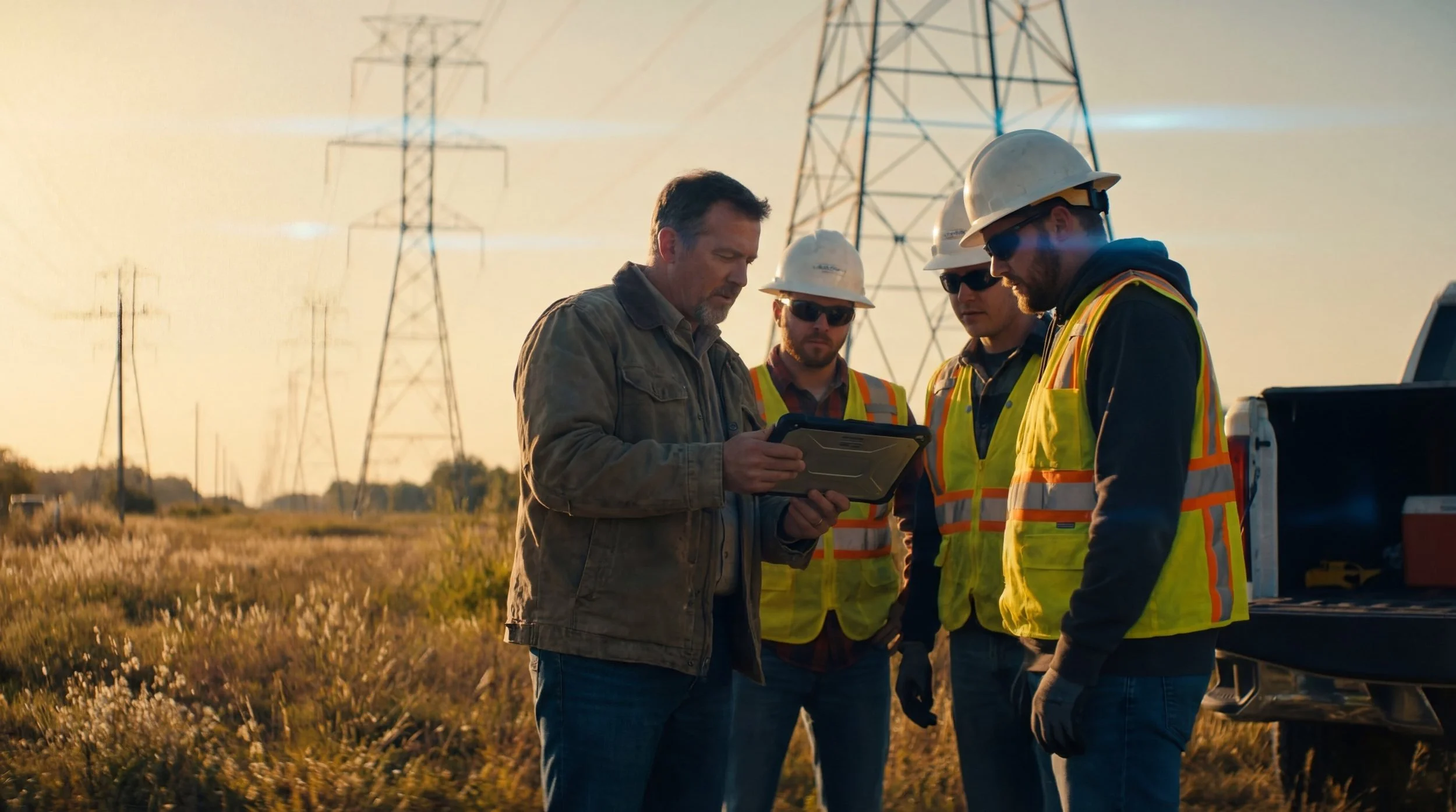
When inspection needs are frequent and asset-specific, internal teams consistently outperform contractors over time. Internal operators develop deep familiarity with your specific infrastructure — they know where the difficult angles are, which assets have had recurring issues, what normal looks like versus anomalous. That institutional knowledge produces better data quality and more accurate condition assessments.
Florida Power & Light's internal drone program — covering transmission lines, solar facilities, and storm-damaged infrastructure — is a well-documented example. Their rapid storm response capability, in particular, would be impossible to replicate with contracted services.
Internal programs also give you control over data. Your inspection imagery, thermal data, and condition records stay within your systems and don't require third-party data handling agreements.
The trade-off: in-house programs require upfront capital investment, ongoing training infrastructure, and dedicated program management. These are real costs that need to be built into the ROI model honestly.
The case for contracted services:
For utilities with low inspection frequency, limited budget for program infrastructure, or specialized one-time inspection needs, contracted drone services offer immediate access to expertise without the capital and operational overhead of an internal program.
The right contracted provider brings certified pilots, proven workflows, and the equipment for the specific inspection type — without the utility needing to manage any of it.
The limitation: contractors don't build institutional knowledge of your assets over time, data control and handling requires clear contractual terms, and response time for unplanned inspections depends on provider availability.
The hybrid model:
Most large utilities land here. Internal teams handle routine, high-frequency inspection work — where consistency, speed, and institutional knowledge produce the most value. Contracted specialists handle complex or infrequent missions that don't justify maintaining specific internal capabilities — BVLOS corridor work, specialized LiDAR surveys, post-event damage assessment requiring rapid mobilization.
Equipment and Sensor Selection
Platform and payload selection should follow mission definition — not the other way around. The right aircraft for transmission line inspection is not necessarily the right aircraft for solar mapping or wind turbine close-inspection work.
Core sensor types:
High-resolution RGB cameras are the foundation of most inspection workflows. Visual documentation of physical condition, vegetation, and structural integrity at resolution sufficient for detailed engineering review.
Thermal cameras are essential for electrical inspection work — substations, solar farms, transmission hardware. Thermal imaging detects temperature anomalies invisible to visible-light cameras, catching developing failures before they become outages.
LiDAR sensors provide 3D point cloud data for precise vegetation clearance measurement, structural modeling, and corridor mapping. Higher cost and operational complexity than optical sensors, but irreplaceable for certain applications.
Zoom/optical telephoto cameras allow standoff inspection at safe distances while maintaining useful resolution on specific components — insulators, hardware connections, structural details.
Platform considerations for utility environments:
Electromagnetic interference is a real operational factor near energized transmission equipment. Platform stability in wind matters for close-proximity inspection work. Payload capacity determines what sensor combinations you can carry. Battery performance in temperature extremes affects operational range.
At Red Raven, we provide independent guidance on platform selection as part of our consulting work — we don't sell hardware, which means our recommendations are driven by your mission requirements rather than inventory.
Regulatory Framework for Utility Drone Programs
FAA Part 107 is the baseline legal requirement for commercial drone operations. It authorizes operations by day, within visual line of sight, below 400 feet AGL, in uncontrolled airspace without authorization. Most routine utility inspection work operates under Part 107.
Key authorizations relevant to utility programs:
LAANC (Low Altitude Authorization and Notification Capability) provides near-real-time authorization for operations in controlled airspace near airports. Most utility assets don't require LAANC, but programs with assets near airports need to understand the process.
Waiver processes exist for operations that exceed Part 107 limitations — night operations (now permitted with appropriate lighting under standard Part 107), operations over people, and BVLOS work. BVLOS waivers have historically been granted on a per-operation basis, which limits scalability for corridor inspection.
Part 108 and the BVLOS Future
The FAA's August 2025 BVLOS NPRM represents the most significant regulatory development for utility inspection programs in years. Part 108 proposes a standardized framework for BVLOS operations — replacing the individual waiver process with a structured approval pathway for operators and organizations.
For utilities, this means routine corridor inspection of pipelines and transmission lines at scale becomes operationally viable. Operators and programs building their internal capabilities now will be positioned to scale quickly once Part 108 is finalized — which is expected in 2026 per Executive Order timeline.
Data security and compliance
For utilities operating under NERC CIP (Critical Infrastructure Protection) standards, drone program data handling requires careful attention. Aerial imagery of substations and transmission infrastructure is sensitive — data storage, access controls, and third-party handling all require policy development aligned with compliance requirements.
Training Requirements for Utility UAS Programs
Part 107 certification is the legal floor — not the operational ceiling.
Utility inspection pilots need capabilities that go well beyond aeronautical knowledge tested on the Part 107 exam. They need to understand the specific inspection types they're flying, the data requirements for each, and how to operate safely in utility-specific environments.
Core training components for utility programs:
Inspection-specific flight operations. Flying close-proximity inspection routes around energized equipment requires proficiency that develops through practice, not certification. Pilots need hours of structured experience with the specific inspection profiles — tower orbits, substation approaches, blade inspection flight paths — before those operations are conducted on live assets.
Thermal camera interpretation: Thermal data is only valuable if it's correctly read. Pilots and data reviewers need specific training on what thermal signatures indicate in electrical and mechanical systems — distinguishing normal temperature variation from developing anomalies.
EMI environment operations: Pilots operating near energized transmission equipment need to understand how EMI affects their specific platform and what operational adjustments are required.
Data collection standards: Inspection data is only useful if it meets quality standards. Pilots need training on capture protocols — overlap percentages, standoff distances, lighting conditions, and naming conventions — that produce data sets their maintenance and engineering teams can actually use.
Emergency procedures: Equipment failures happen. Lost link protocols, GPS degradation procedures, and emergency landing decisions need to be practiced until they're automatic.
Whole-team integration: Like fire department drone programs, utility inspection programs succeed when the whole team — not just pilots — understands the capability. Asset managers, maintenance engineers, and operations supervisors need enough UAS literacy to task the drone program effectively, interpret inspection reports, and integrate aerial data into their maintenance workflows.
Data Management: Turning Aerial Data Into Actionable Maintenance Intelligence
The most common place utility drone programs underperform is data management. Organizations invest in platforms, training, and operations — then fail to build the workflow that turns raw inspection data into maintenance decisions.
Drone inspection generates large volumes of imagery and sensor data. Without a structured data management workflow, that data sits in storage rather than driving maintenance planning.
A functional data workflow includes:
Standardized collection protocols: Consistent file naming, geotagging, metadata capture, and capture parameters ensure data from different missions, pilots, and dates can be compared systematically.
Storage and access architecture: Raw data needs a defined home — whether cloud-based or on-premises — with clear access controls, especially for assets covered under NERC CIP or similar security frameworks.
Processing and analysis: Photogrammetric processing (for mapping and 3D modeling), thermal analysis, and AI-assisted anomaly detection all require defined software workflows and the personnel or vendor relationships to run them.
Integration with asset management systems: The endpoint of inspection data is your asset management platform — where condition assessments, maintenance records, and repair work orders live. Drone inspection programs that integrate directly with these systems produce the most operational value.
Reporting standards. Maintenance and engineering teams need inspection outputs in formats they can use. Defining report templates, condition scoring systems, and escalation thresholds turns inspection data into decision-ready information.
Building the ROI Case for Leadership

Most utility drone programs originate with an operational champion who understands the value — and needs to make the case to leadership who controls the budget.
The ROI case for utility drone programs is strong, but it needs to be built on your specific numbers — not generic industry claims.
ROI inputs to quantify:
Labor cost displacement: What does a helicopter deployment cost versus a two-person drone team for the same inspection coverage? What does it cost to put a climbing crew on a transmission tower versus capturing the same data by air?
Inspection frequency and coverage: How many linear miles of transmission line or pipeline can you cover per day with your current method versus drones? What does increased inspection frequency do to your early fault detection rate?
Safety incident reduction: What is the loaded cost of a worker safety incident — medical, legal, insurance, productivity — and how does removing workers from high-risk inspection environments affect that exposure?
Outage prevention: What is the average cost of an unplanned outage for your system? If drone inspection detects one developing failure per year that would have caused an outage, what is the value of that detection?
Regulatory compliance: What is the cost of non-compliance findings, and how does improved inspection documentation affect your compliance posture?
Data quality improvements: What decisions have you deferred or gotten wrong because your inspection data wasn't detailed enough? What is the value of better information?
The programs that get funded are the ones that put real numbers behind each of these questions.
Getting Started: A Phased Approach

Utilities that launch drone programs successfully share a common characteristic: they start focused and build out. Programs that try to do everything at once — all asset types, full internal capability, advanced sensor suite — consistently struggle.
Phase 1: Define your highest-value use case.
Start with the inspection type where the ROI case is clearest and the operational complexity is manageable. For most utilities, this is either distribution line inspection or substation inspection — both high frequency, well-defined workflows, and significant safety upside.
Define what success looks like: inspection coverage targets, data quality standards, cost per mile or per asset benchmarks, safety outcomes.
Phase 2: Build the foundational capability.
Hire or designate your initial pilot team. Get them through Part 107 and into inspection-specific training. Acquire the platform and sensor suite for your defined use case. Develop your data workflow for that inspection type. Fly your first season with clear data collection and performance targets.
Phase 3: Evaluate and expand.
At the end of your first operational season, evaluate against your Phase 1 benchmarks. Where did the program perform? Where did it fall short? What does the data show? Use that evaluation to make informed decisions about expansion — new asset types, additional pilots, more advanced sensor capabilities.
Phase 4: Build toward scale.
As the program matures, advance toward the capabilities that deliver the most long-term value: BVLOS operations (when Part 108 provides the regulatory pathway), automated flight planning, AI-assisted data analysis, integration with enterprise asset management systems.
Why Instruction Matters More Than Equipment
The most expensive drone in the world doesn't produce useful maintenance data in the hands of a pilot who hasn't been trained on the specific inspection workflow.
The utility sector is full of programs that bought the right equipment and got mediocre results because the training didn't match the mission. Generic Part 107 courses produce legally certified pilots. They don't produce pilots who can fly a systematic substation inspection, correctly interpret a thermal anomaly on a transformer connection, or maintain consistent data quality across a full inspection season.
The instruction that actually closes that gap comes from people who understand both the technical side of UAS operations and the operational context of utility inspection — who have seen what happens when a drone program delivers excellent data, and what happens when it doesn't.
That's the difference between a drone program that justifies its investment and one that doesn't.
Ready to build a utility drone inspection program?
At Red Raven UAS, we deliver customized UAS program development and on-site training built specifically for energy and utility operators — from designing your program from the ground up to scaling toward full BVLOS corridor operations.
Program-First: We start with your assets, your inspection types, and your operational requirements — then build the program structure, SOPs, and training curriculum around them. Not the other way around.
Whole Team: We develop programs that work for your entire organization — pilots, operations managers, asset managers, and maintenance engineers — because a drone program only delivers ROI when everyone knows how to use it.
Field-Tested: Every program is designed and every training curriculum is built by instructors with real operational experience — not vendor demos or classroom theory.
Don't let your equipment investment go underutilized — let's build a program that delivers.
Links & Resources
On-Site UAS Training for Energy & Utilities: https://www.redravenuas.com/training
UAS Program Development & Consulting: https://www.redravenuas.com/consulting
FAA Part 107 Certification Course: https://www.redravenuas.com/part107
Drones for Energy & Utilities: The Complete Guide to Building a UAS Inspection Program https://www.redravenuas.com/blog/utility-drone-inspection-program
Podcast: Why Utility Drone Programs Fail — And How to Build One That Works https://www.redravenuas.com/podcast/drones-for-energy-and-utilities
Utility Drone Program FAQ
Do utility companies need FAA Part 107 to operate drones for inspection? Yes. Any commercial drone operation — including utility inspections conducted by employees or contractors — requires FAA Part 107 certification for each remote pilot in command. Some utilities also pursue a Public Certificate of Authorization (COA) if they qualify, but Part 107 is the standard pathway for most commercial inspection programs.
What is BVLOS and why does it matter for utility drone programs? BVLOS stands for Beyond Visual Line of Sight — the ability to fly a drone beyond the range where the operator can see it with unaided eyes. For utility inspection, BVLOS is transformative because it allows drones to cover long transmission line and pipeline corridors in a single mission without relay pilots. The FAA's Part 108 NPRM, published in August 2025, is expected to establish a standardized approval pathway for BVLOS operations in 2026 — removing the per-mission waiver process that has limited scalability to date.
How much does a utility drone inspection program cost to build? Costs vary significantly depending on program scope. A basic in-house program — one or two pilots, a professional-grade thermal-capable platform, and software — typically starts in the $30,000–$60,000 range for initial equipment and training. Full-scale programs covering multiple asset types, advanced sensor suites, and data management infrastructure involve higher investment. The ROI case, when built honestly against labor displacement, inspection frequency improvement, and outage prevention value, is strong for high-frequency inspection needs.
Should a utility build an in-house drone program or contract out inspection work? It depends on inspection frequency, budget, and strategic priorities. For utilities with frequent, ongoing inspection needs, in-house programs deliver lower per-inspection cost over time and build institutional knowledge of your specific assets. For lower-frequency or specialized inspection needs, contracted drone service providers offer immediate expertise without the overhead of a full program. Many utilities operate hybrid models — internal teams for routine work, contractors for specialized or infrequent missions.
What drones are best for utility inspection? Platform selection should follow mission definition. Transmission line and substation inspection requires platforms that perform reliably in high electromagnetic interference (EMI) environments — where GPS-dependent drones can degrade. Solar mapping favors platforms optimized for systematic grid coverage. Wind turbine inspection requires stable, precise platforms for close-proximity blade work. Pipeline corridor inspection benefits from long-endurance platforms and will increasingly favor BVLOS-capable systems. Red Raven provides independent, hardware-agnostic guidance on platform selection as part of our consulting services.
How long does it take to build a utility drone inspection program? A focused Phase 1 program — one use case, one inspection type, foundational pilot team trained and equipped — can be operational within three to six months. Full-scale programs covering multiple asset types, advanced sensors, and data management integration typically require twelve to eighteen months to develop properly. Programs that try to do everything at once consistently struggle; phased development produces more sustainable results.
Can existing utility field personnel be trained as drone pilots? Yes — and in most cases, this is the preferred approach. Existing field personnel bring deep asset knowledge that makes them significantly more effective inspection pilots than externally hired drone operators with no utility background. Part 107 certification typically takes two to four weeks of focused study. Inspection-specific operational training follows. Red Raven's on-site training model is designed specifically for this pathway.
About Red Raven UAS
Red Raven UAS was founded by public safety and drone industry professionals who saw the gap between owning drones and using them effectively in the field. Our team brings together decades of real-world operational experience, including helping build one of the nation’s first major public safety drone programs, along with deep experience supporting commercial UAS operations in energy, utilities, and infrastructure.
We help utility operators, energy companies, and infrastructure teams build drone inspection programs around their actual assets, workflows, and operational needs, not a generic training package. We do not sell hardware, and we do not use one-size-fits-all course material. We provide independent, field-tested training and program development guidance from people who have built and operated UAS programs in the real world.
From initial assessments and ROI planning to pilot training, SOP development, and data workflow design, Red Raven UAS helps organizations build the systems, structure, and operational foundation they need to deploy drones effectively and sustain them over time.
Explore More